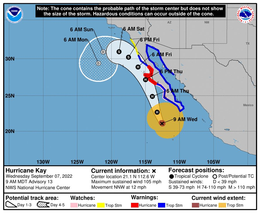
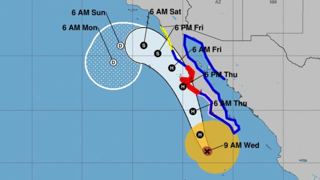
Hurricane Kay, a Category 2 storm, is closing in on the Baja California coast
A cyclone off Baja California could end Southern California’s heat wave.
Hurricane Kay might bring rain to the region as early as Friday, but its impact is uncertain as it advances north. Forecasters say the hurricane might bring clouds, showers, and thunderstorms.
While it is questionable if Hurricane Kay will reach Los Angeles County, it will likely bring cloud cover.
Friday’s high temperatures may not be tempered by cloud cover. Excessive heat warnings will last through Friday and even Saturday.
While Hurricane Kay is anticipated to slow down and avoid Southern California, its initial effects may hit Los Angeles on Thursday.

Category 2 Hurricane Kay has 105 mph sustained winds. It has caused a hurricane warning in Central Baja California, tropical storm warnings for the whole east coast, and a tropical storm watch from northern Baja California to the U.S.-Mexico border.
As it nears Southern California, it is forecast to weaken. As it approaches, it will slow and head left toward the Pacific Ocean. The storm’s position may put Southern California in the right front quadrant, which brings heavy rain and severe storms.
Heavy rain could cause flash floods in Los Angeles, Orange, and Inland Empire counties.
Orange County and Palos Verdes beaches may see 5 to 6 foot waves, which can generate deadly rip currents.
The brunt of Kay is predicted on Friday and Saturday. More clouds, showers, and storms are possible Sunday. The storm should end Monday, ushering in cooler, quieter autumn weather.
Kay is not forecast to hit SoCal as a tropical storm. Last California tropical storm was Sept. 25, 1939. Four tropical storms hit Southern California that month.
A hot wave in Southern California led to tropical storms.
